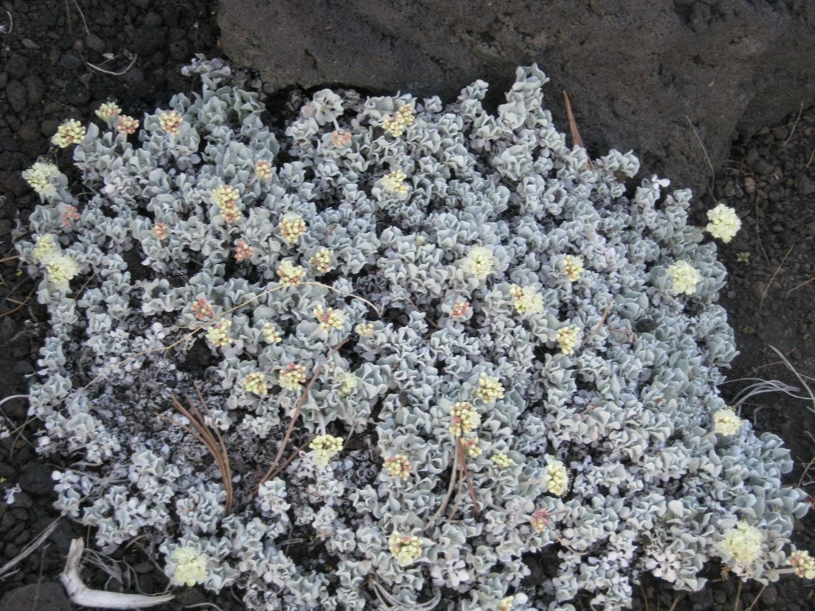
As you climb up the foothills toward the Sierra Nevadas and Yosemite the land changes from cattle grazing to all forest. And as you drive you can't help but look up as the various variety of pine which climb straight for the sky, tall and straight. Along the edges of the roadsides and in meadows are Pacific Dogwood in full bloom. They are a hearty species of dogwood because they grow at 5000-7000ft. The circuitous climb from the south on route 41 enters a tunnel, at the end of which is a full panoramic view of Yosemite in all it's glory. There is Bridal Veil Falls, El Capitan, Half Dome and the Merced River running down the middle. It is a stunning, breath taking view.
This is truly a glaciated U shaped valley carved by numerous glaciers scouring the rocks, receding and then scouring them numerous times. After the glaciers receded the last time, a terminal moraine was left at the end of the eastern end of the valley and a lake formed. The Merced finally worked it's way through the moraine and started to further cut the valley. The River now winds it's way through the fairly level valley floor until it starts to drop off into the lower valleys and then the river becomes this mass of raging water. There are also open meadows and pine forests and dogwood groves and then tucked down amongst all this is a crazy thriving metropolis. They have their own school, dentist, hospital, and fire department. There is housing for hundreds of employees.
There are lodges, an historic hotel, Cabin tents, housekeeping cottages, and campgrounds all nestled into the huge valley from one end to the other.
The valley is also a Mecca for world class rock climbers. They come from all over the world to do the longest routes, that sometimes take days to complete, that can be found no other place. El Capitan is over 3500 ft bottom to top and a pair of climbers will take anywhere from a single day to 5 or more days climbing the sheer face. They camp on the face using hammocks or platforms and have to carry up all their gear (a gallon of water a day) and carry out their waste in addition to climbing the most ambitious climbs imaginable. My favorite thing to do was to sit down in the meadow below El Capitan in the afternoon and prop my head against a downed tree and scan the cliff face for the various climbing teams. The easiest route is called "The Nose" and some days I would see 4 teams at various locations up that route. The climbers all seem to congregate down at infamous Camp 4 down at the base and switch off using tents because of the 14 day camping limit.
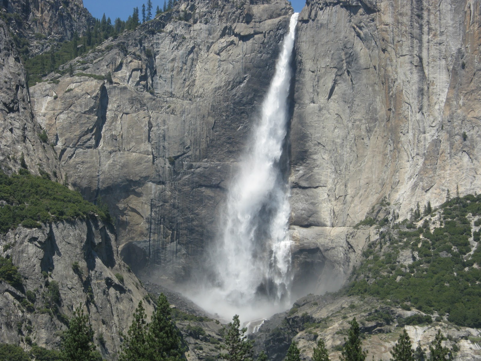
There are many waterfalls in addition to Bridal Veil falls. There are trails up to most of the falls and I hiked up to the base of the Upper Yosemite Falls and to the base of Vernal Falls. Because of the lack of snow this winter, these falls will likely go dry by summers' end.
I stopped in Curry Village one evening for dinner and was amused at the signs on the outside tables. First off, let me say that the Park is adamant about keeping all food (and toiletries) in steel lockers so that bears or other animals can't get at the food. They are also adamant that the animals not be fed. So at this outdoor cafe, they ask the patrons to bus their tables immediately after eating so that the California Ground Squirrels, the Pacific Chickrees and Stellar Jays don't get any food scraps. It seems human foods is not healthy for wild animals because of salt, fats and preservatives and I kept thinking "what about us humans."
There is a long road out to Glacier Point that is across the valley from Yosemite falls. I drove out there one day and then went back another day to hike a trail off that road that went to the summit of Taft. The best part of those drives was coming back through the tunnel and seeing the grand vista all over again.
Today I drove east across the northern area of the park and was able to view to top of Half Dome from the eastern end. Then I went over Tioga pass which is over 9000 ft and was in a different world. I went from the Sierra Nevadas to the Great Basin which is semiarid grazing and some irrigated land. I passed Mono lake which seems to be a salt lake, as there was white stuff floating on it and the edges were all rimmed in white deposits. What a transition to go from a land of giant forests to a high altitude desert that gets only 10-20 inches of rain a year. Then I climbed back over the divide and came down into the Tahoe area. I am here for three glorious nights at a ski lodge that is right next to one of the ski lifts. I HAVE to do laundry, get my car's oil changed and process 2 disks of pictures. I will post some pictures after I get the CD back.
My hot water heater is back working properly but I have this wonderful jacuzzi bath in my suite! and tonight my bed will be level for the first time in a week.
Yosemite was truly an amazing place because everywhere you looked was one stunning view after another. The Park Service does an admirable job with dealing with the hoards of people. Over mothers day every room and campsite was taken. On a summer day they get 14,000 people. There is a hybrid shuttle that plies the valley but it is still a crazy place.
 Western Tanager on Mary's deck railing.
 Statue of elk outside the National Wildlife Art Museum.
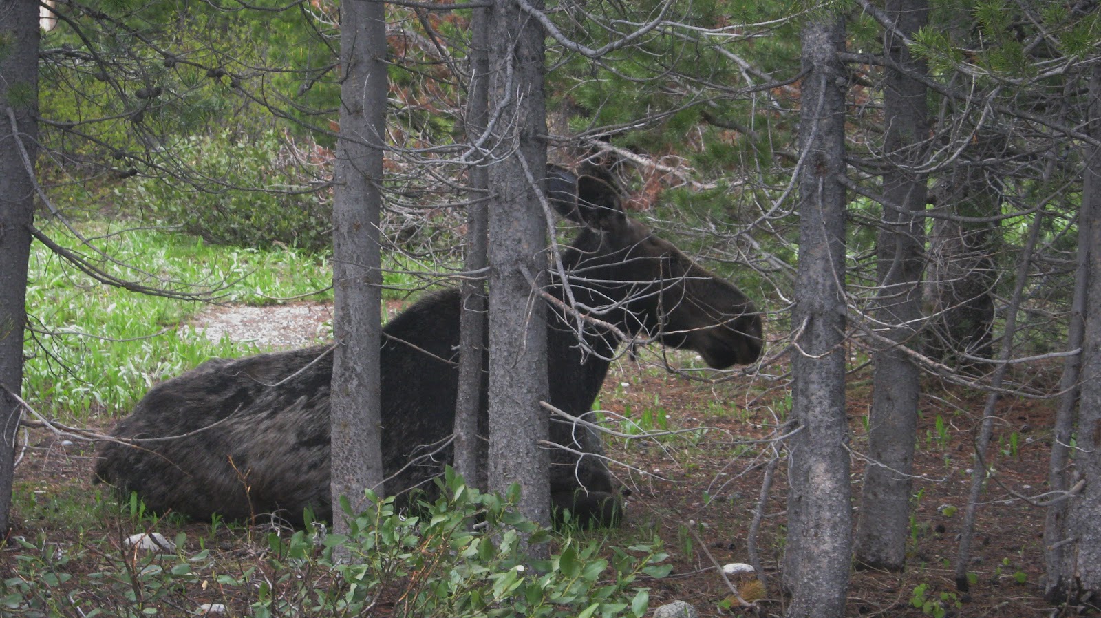 Mother Moose is just relaxing alongside the trail.
 Mormon Barn with Tetons. this is the classic view seen on every postcard of the Tetons. Life Motif #1 in Rockport, MA.
 Elk on a hillside. They are sleek and have lost their winter coats.
 Mary and Catherine by the side of Jenny Lake in Grand Teton National Park.
 Relaxing on a hike despite the snow covered rocks.
 Bison in a herd next to the road. they are trying to shed their winter scraggy coats.
 The Grand Tetons on a cloudy day.
 The Grand Tetons don't have any foothills which makes it very dramatic to view them.